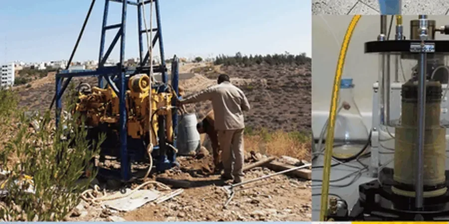
Compliance with the National Building Code of Canada (NBCC 2020) in Regina requires more than a standard borehole when deep glacial till and compressible lacustrine clays govern site response. The seismic tomography survey, combining refraction and reflection methodologies, maps shear-wave velocity profiles across the Wascana Plain, where post-glacial Lake Regina sediments reach over 15 meters in thickness. Our team executes high-resolution P-wave and S-wave tomography lines to image bedrock topography, detect buried channels, and delineate the stiff till surface that controls bearing capacity and seismic site class. For complex stratigraphy near Wascana Creek or the Trans-Canada Highway corridor, this dataset feeds directly into the geotechnical model, reducing uncertainty in footings design and deep excavations where water-bearing sands interbed with clay.
A seismic tomography line images what a drill rig misses—buried valleys and abrupt till surface drops that change the foundation strategy across a single building footprint.
Applicable standards
NBCC 2020 – Division B, Article 4.1.8.4 (Seismic Site Classification), CSA A23.3-19 – Design of Concrete Structures (seismic provisions), ASTM D5777-18 – Standard Guide for Using the Seismic Refraction Method, ASTM D7128-18 – Standard Guide for Using the Seismic Reflection Method, Canadian Geotechnical Society – Canadian Foundation Engineering Manual, 4th ed.
Common questions
What is the typical cost of a seismic tomography survey in Regina?
Budget between CA$3,360 and CA$6,620 for a standard refraction line with 48 geophone channels, including field acquisition, processing, and a signed engineering report. The final figure depends on survey length, source type (weight drop vs. explosive), and whether S-wave data is required for Vs30 determination.
How does seismic tomography help with NBCC 2020 site classification?
The NBCC classifies sites from A (hard rock) to E (soft soil) based on the average shear-wave velocity in the upper 30 meters (Vs30). Seismic tomography measures Vs directly rather than relying on correlations from blow counts. A refraction survey provides a velocity model that yields the Vs30 value and the velocity profile shape, both of which influence the site period and seismic design spectrum.
Can you perform surveys on paved industrial sites with heavy truck traffic?
Yes. We use a land streamer with built-in geophones that can be towed across asphalt or compacted gravel, and we schedule acquisition windows to avoid peak traffic hours. For high-ambient-noise environments near railways or the Ring Road, we stack multiple source impacts per shot point to improve signal-to-noise ratio without compromising data quality.
What depth of investigation should we expect in Regina's soil conditions?
Refraction tomography typically reaches 20 to 40 meters depth with a 115-meter spread and a weight-drop source, which covers the glacial till and the transition to bedrock in most Regina locations. Reflection surveys can image deeper—up to 80 meters—useful for mapping the Judith River Formation contact or deep paleochannel structures beneath the city.